

Computer vision for smart cities
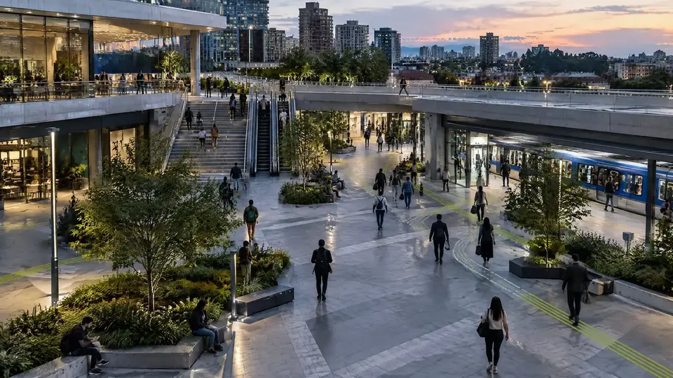
In smart cities, cameras stop being just monitoring points and start generating data on occupancy, mobility and urban events. Omnicog turns that footage into useful signals for operations centers and for the teams that run city services.
Possible applications
- Counting and occupancy of public spaces.
- Flows of people and vehicles.
- Monitoring of areas and zones of interest.
- Events configured for the urban context.
- Metrics for planning and operations.
Integration with operations centers
Events can be sent to dashboards, APIs, smart city platforms or existing systems, so the information does not stay locked inside a video application.
Technology with governance
Urban environments require care with purpose, proportionality, privacy and governance. The architecture is designed for each use case, in line with the applicable rules.
Questions the city starts to answer
- How many people use the square, the terminal or the park at each hour?
- Where does crowding form during events and holidays?
- Which access points get congested, and at what times?
- How long do vehicles stay stopped in areas where stopping is prohibited?
The cameras the city already has
Many cities have hundreds of cameras installed and few people to watch the footage. The analysis runs on the existing video, over RTSP or ONVIF, close to the cameras or in the operations center, and delivers only events and metrics to the team.
From the terms of reference to the pilot
Public projects often start with a terms of reference. It helps to define in it the purpose of each camera, the expected events and metrics, where the video will be processed, and the retention and access rules. An assessment of the existing cameras shows which points meet each requirement before contracting at scale.
Assessment of your cameras
The first step is to look at the cameras you already have and tell you what they can do. Then a proof of concept with your own footage shows the result in the field. Depending on the size of the project, both steps can be free of charge, and the proof of concept starts running within 10 days of the agreement between the parties.
Assessment
We review image quality, position, lighting and network of the existing cameras against what you want to detect.
Proof of applicability
We run the analysis on real scenes from your site and measure it against the agreed success criteria.
Deployment
On-premises, central, cloud or hybrid, with rules, alerts, user roles and integrations configured.
Continuous calibration
Rules and models are tuned per camera using the real event history.
Frequently asked questions
What data from an urban camera becomes a metric?
Counts of people and vehicles, occupancy by zone, dwell time, flow between points and configured events, such as crowding or access to a closed area. Data is aggregated by hour, day and location.
Do the city’s cameras need to be replaced?
Not always. Urban surveillance cameras can usually be used for counting and occupancy when angle and resolution allow. The assessment separates the ones that fit each metric.
How does computer vision help a smart city?
It turns cameras into sensors for occupancy, flow and events. Operations centers receive metrics and alerts instead of dozens of screens to watch.
Do citizens need to be identified?
No. Most urban applications use aggregated data, such as counts, occupancy and flow, without identifying people.
What do you want your cameras to tell you?
Tell us what you need to detect, measure or monitor. We start with the problem, not the technology, and the assessment uses images from the cameras you already have.
- Phone and WhatsApp
- +55 11 3636-8989
- Address
- Al. Terracota, 185, conj. 1213 — São Caetano do Sul, SP, 09531-190